Nearby surroundings
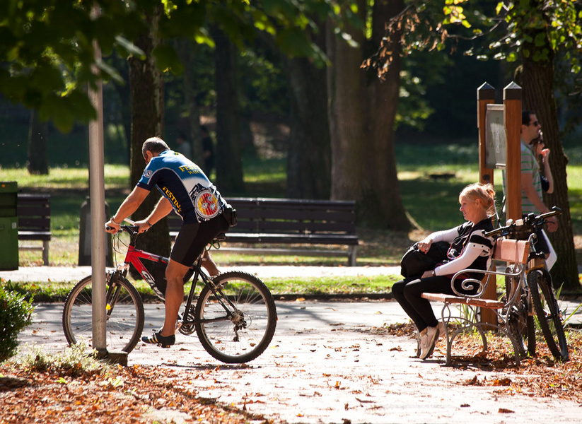
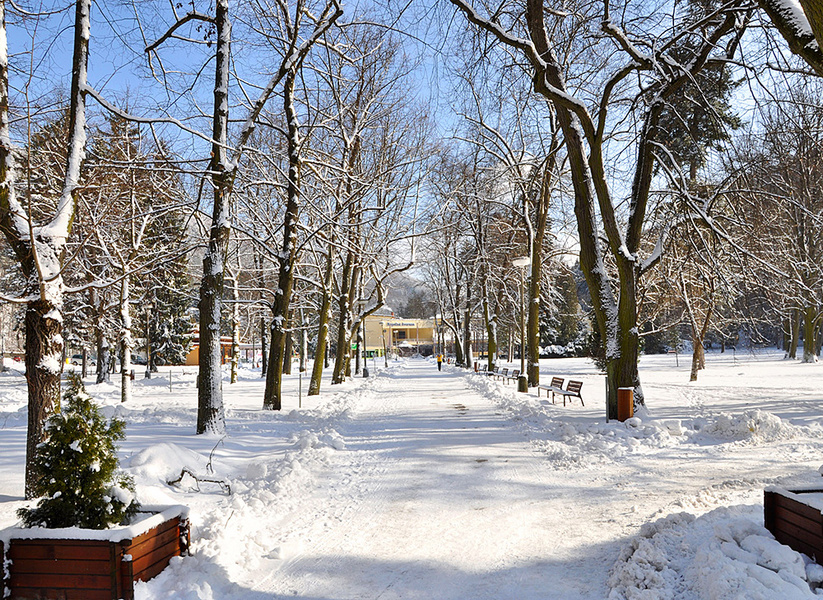
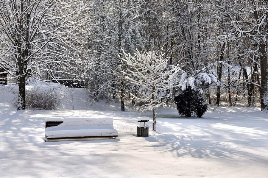
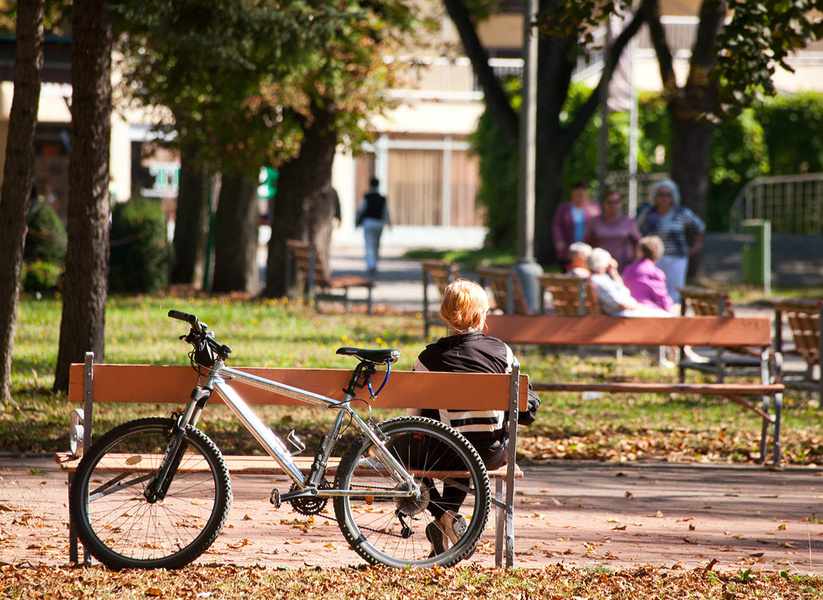
If you want to experience the genuine atmosphere of relaxation after spa procedures, there is a beautiful spa park with rare trees and a swan lake, a forest park with an educational path, leading into a vast forest rich of wild animals, mushrooms and berries.
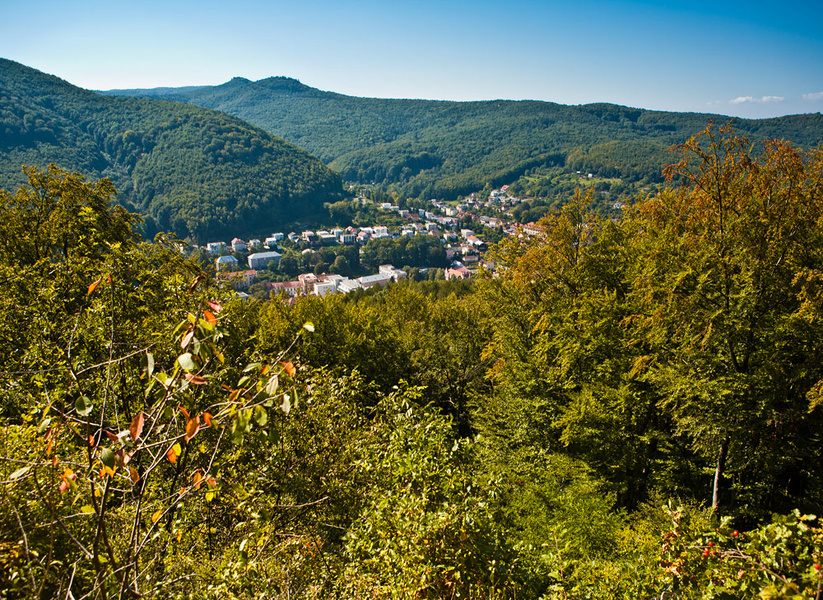
Trenčianske Teplice is situated in a narrow valley, through which the stream Teplička flows, and the city is lined by two massive ridges - Grófovec (557 m a.s.l.) on the northern side and Klepáč (575 m a.s.l.) on the south, which is also the highest peak near the spa. Thanks to these mountain ridges, winds in the city are rare.


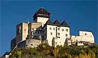
Trenčín
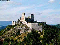
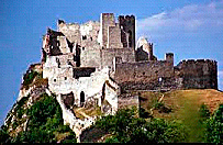
The city attracts tourists with many historical monuments - the Trenčín Castle, the Parish stairs and the statue of St. John Nepomuk, the Parish Church of the Nativity of the Virgin Mary, the Executioner’s house,
Roman inscription on the castle rock, the Piarist church of St. Francis
Xavier, the Synagogue ... (approx. 13 km)
Skalka nad Váhom
The oldest site of pilgrimage in Slovakia (approx. 16km)
Dubnica grotto with an observation tower (approx. 10km)
Čičmany
Painted wooden houses and exhibition of folk architecture (approx. 43km)
Čachtice Castle (approx. 45km)
Shopping tour (Shopping center Laugaricio, Shopping and entertainment center Max Trenčín...)


Trubárka
National Nature Reserve declared in 1982 with an area of 7.4 hectares. In the rocky and forest habitats you can find rare species of fauna and flora. The stream Havránková dolina was declared a natural monument in 1984. Although the area of the park is only 4,76 ha, the stream is a unique because of its well-preserved bank vegetation and bed biocenosis. Žihľavník - Baske is a national nature reserve since 1967. The subject of protection of this karst area are mixed stands. The territory occupies an area of 130 hectares. The natural formation Lánce - on the northern foot of the massif Baske (1987)
Omšenská Baba
Omšenská Baba (area of 36 ha) is a National Nature Reserve since 1967like Žihľavník – Baske. It consists of rock formations formed by Triassic limestones and dolomites and is an important floristic site. Between the Púchov and Trenčín breakthrough of the river Váh lies the Ilava basin, which is part of the Váh River Valley (Považské podolie). It creates an area of tourist trails leading to all directions. It is the starting point into the surrounding mountains with hiking trails to Vápeč (956 m), Strážov (1216 m) in the Strážov Hills (Strážovské Vrchy) and Vršatec (805 m) in the White Carpathians. The most striking landmark of the White Carpathians (Biele Karpaty) is the Vršatec outliers above, the village Vršatské Podhradie. This impressive natural formation of limestone walls and towers is a nature reserve with educational forest path and a hiking trail.
Vápeč
Southeast of the city is the most attractive mountain in the Strážov Hills - Vápeč (956 m) – a National Nature Reserve, to which a tourist trail leads. It is an important landmark, consisting of dolomites and limestones with rare species of vegetation. The summit offers a magnificent view in all directions.
Strážov
In the eastern part of the district, on the east from the village Zliechov, there is another significant mountain Strážov, according to which the geomorphologic unit the Strážov Mountains is named, separating the Váh basin from the Nitra basin. This site is a national nature reserve with interesting karst phenomena - caves, waterfalls and abyss. The marked path leads through the river valley to the Vápeč Mountain, one of the most attractive landmarks in the Strážov Mountain.
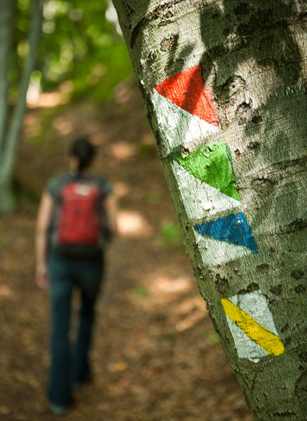
Cyclotrail
Ilava – Homôlka – Baske – Žihľavník – Trenčianske Teplice
Yellow trail sign (Ilava - Sokol - Vápeč)
Ilava, train station - Sokol – Háj, crossroads - red, blue trail sign - Vápeč (956 m a.s.l.)
Come down from the top of Vápeč following the blue trail sign to foothill village Horná Poruba. Duration: 4.30 hours, superelevation: 706 m. Passing through the Poruba furrow (Porubská brázda) partially through forest and mountain meadows, combined with climbing to Sokol a Vápeč. The trail offers great views and goes in the direction of the road Ilava – Horná Poruba.
Red trail sign (Ilava - Zliechov - Strážov - Čičmany)
From Ilava by bus to Zliechov.
Zliechov - Strážov - Čičmany
Total duration: 3 hours, superelevation 610 m. Before climbing the highest mountain of the Strážov from the village Zliechov, we recommend to try sheep cheese and whey in the local sheepfarm. Come down from Strážov into the distinctive mountain village Čičmany with unique folk architecture.
Blue trail sign (Ilava - Vršatec - Červený Kameň - Lednica)
From Ilava by bus to Vršatské Podhradie.
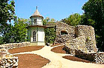
Vršatské Podhradie – turn to the ruins of the Vršatec castle (805 m) – along the blue sign to the village of Červený Kameň - then to the village of Lednica. The territory is part of the national nature reserve of the White Carpathians.
Total duration: 3.15 hours, superelevation 490 m. The castle hill Vršatec was settled already in the Bronze Age. It was built as a guard castle to protect the borders of Hungarian empire. Its last owners were the Königseggs, which included extensive territories between Ilava and the White Carpathians.


